Study oceanside sand
Calling All Citizen Scientists
We need your help to Measure sand along Oceanside beaches.
SOS Citizen Scientists take beach measurements (beach transects) and record data. This data is provided to the scientists at Scripps Institution of Oceanography and GHD Engineers for use in the continuing Oceanside coastline behavior monitoring and the current Oceanside sand study.
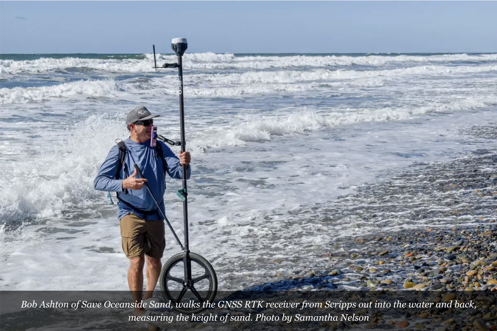
The SOS Citizen Science Program centers around collecting data on the beach sand profiles along the 3.7-mile Oceanside shoreline. This is done by measuring the sand level or transect measurement. The Oceanside shoreline is defined by 60 of these “lines” that project from the back beach high tide level out into the nearshore surf zone perpendicular to the coastline. Using special data collection equipment, the SOS Citizen Scientists conduct monthly measurements of these transects along the entire Oceanside shoreline.
This work is done in collaboration with the Scripps Institution of Oceanography. The data is placed on a public access website used by engineering firms, the USACE, and others studying the Oceanside shoreline and developing potential solutions.
The SOS citizen science program is growing, and plans are in motion to add drone photo data collection events soon. This is a process called photogrammetry. Photogrammetry is the science and technology of obtaining reliable information about physical objects and the environment through the process of recording, measuring, and interpreting photographic images and patterns of electromagnetic radiant imagery and other phenomena.