TURNING BEACH WALKS INTO REAL DATA
Help measure shoreline change.
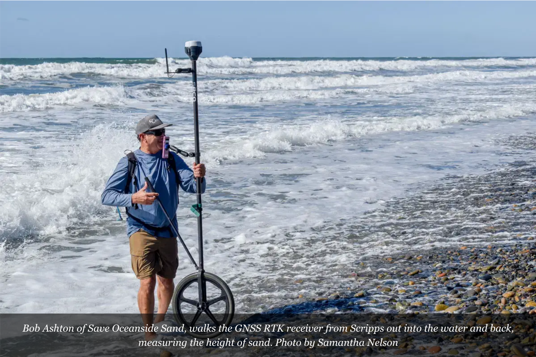
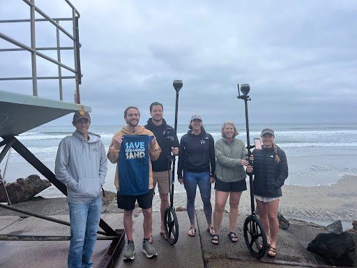
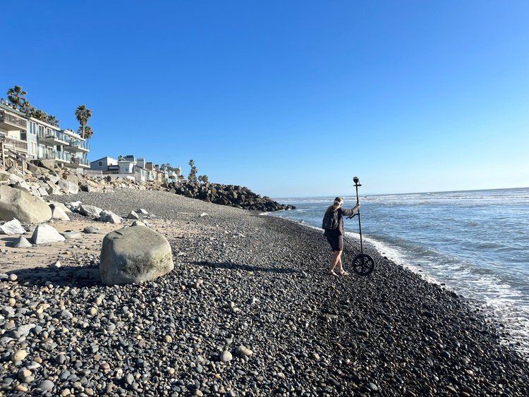
The SOS Community Science Program gives volunteers the tools and training to measure and monitor the state of Oceanside’s beaches.
No science background needed,
just enthusiasm and consistency.
We'll provide the training and equipment.
If you’re an enthusiastic beach-goers interested in science, we can use your help. No previous science fieldwork is needed, we will train you.
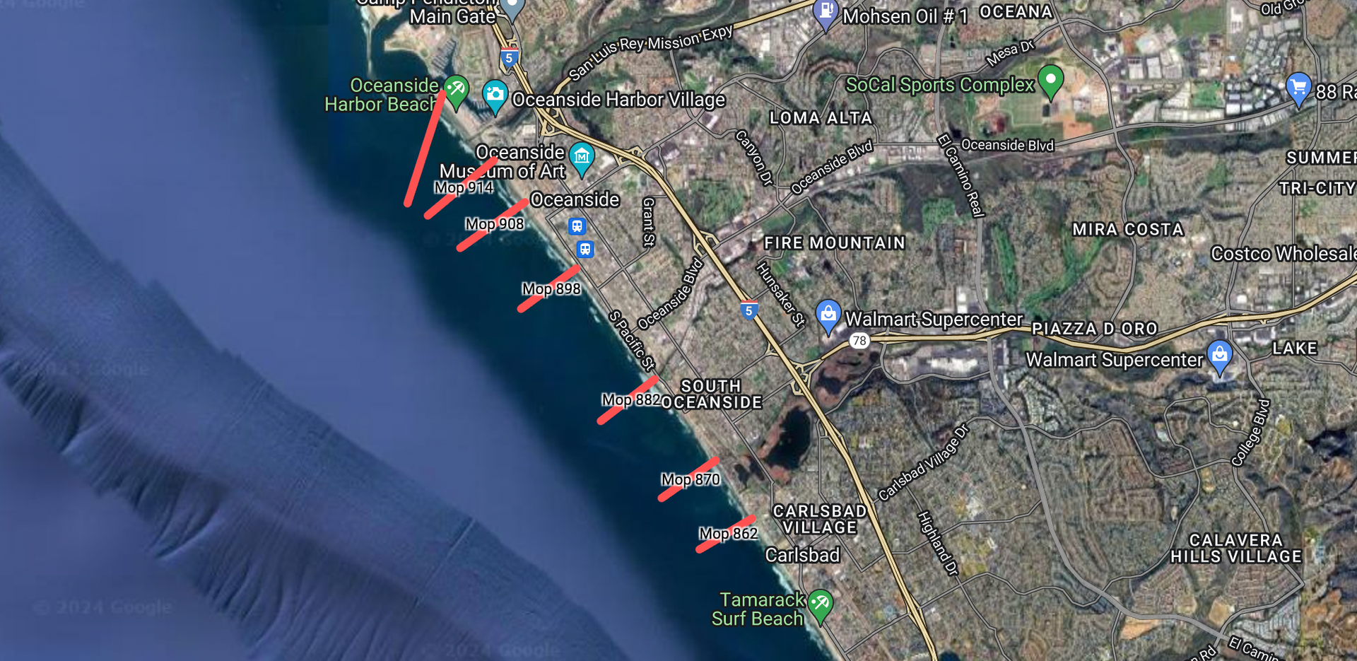
For over five years, our Community Science team has conducted beach profile measurements each month along our 3.7-mile shoreline. This data goes to coastal scientists at the Scripps Institution of Oceanography, who process it and post it to a public-access site used by coastal engineers, the US Army Corps of Engineers, and other agencies working on shoreline solutions for Oceanside - including the City's RE:BEACH Pilot Project - to track erosion, sediment movement, and beach health over time.
Scripps Institution of Oceanography
This work is done in collaboration with the Scripps Institution of Oceanography. The data is placed on a public access website used by engineering firms, the USACE, and others studying the Oceanside shoreline and developing potential solutions.
See Oceanside beach profiles on the Scripps Institution of Oceanography Coastal Processes Group website.